3D Model Upload
General

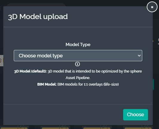
Since there can be significant nuance and variation in configuration for 3D models, their upload process follows different a different flow than other media files. Sphere supports usage of 3D models in 2 main configurations:
Default 3D models - these are models that are interacted with similar to other holograms, for example moved in space, scaled and rotated, or attached to workflows. When in doubt, this should be the go-to upload type.
BIM Models - these are models that are specific to BIM construction workflows and typically for visualizing building data. Here you are inside/within the actual 3D model. In the BIM case, we can support separate layers and levels (see section below)
Once the model has been uploaded, you will receive an email when it has completed processing.
For detailed information on supported 3D file formats, please see the following page:
https://docs.holo-one.com/mgmtportal/Supported-3D-File-Formats.1369604155.html
Note: some of these 3D model processing options are currently only available for direct customers of holo|one sphere and not those using the integrated Lenovo Cloud Platform deployment.
Default 3D Models

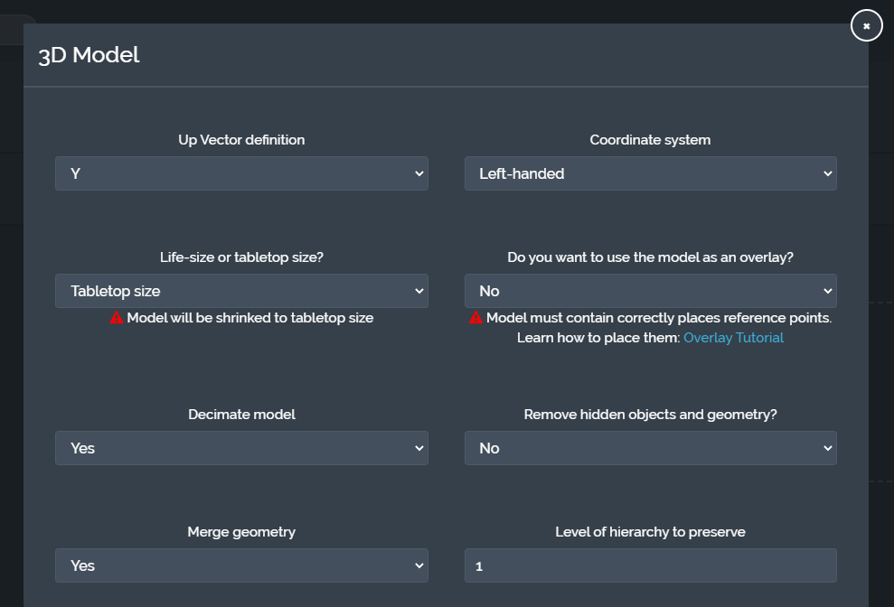
The following processing parameters can be configured and applied to Default 3D Model uploads:
Up vector definition |
|
Coordinate system |
|
Life-size vs. tabletop |
|
Use as Overlay |
Note: if there are no sphere anchor points in the model, the processing will fail if this option is used For further details on overlay preparation, see the following page: https://docs.holo-one.com/mgmtportal/Overlay-Model-Preparation.1339523073.html |
Decimate model |
|
Remove hidden objects/geometry |
|
Merge geometry |
|
Level of hierarchy to preserve |
|
Animations are also supported by the holo|one sphere asset pipeline. If there is an animation attached it will be automatically detected and preserved. However, we do not support:
Blend shape or morph target style animations
Material animations, e.g. the color or opacity of the material changes over time
BIM Models

BIM models typically consist of different levels
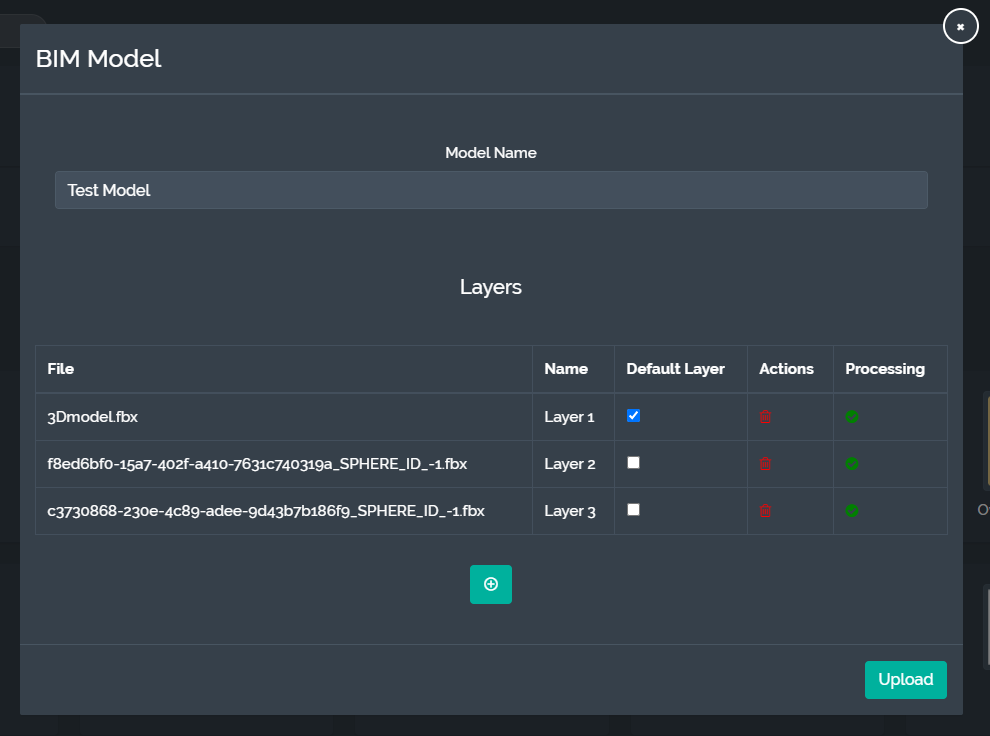
Layers - e.g. electrical data, structural/architectural data, plumbing data, HVAC data
These are uploaded as separate files belonging to the same BIM model
Once the initial BIM model is created, more layers can be added and removed as necessary
Levels - e.g. ground floor, basement, first floor, penthouse
Each BIM model contains a “Default Layer”. This layer is responsible for containing the anchor reference points and level structure that governs the entire model. Anchor reference points from the default layer will be injected into each subsequent layer that is uploaded at the position dictated by the default layer. Furthermore, the levels extracted from default layer will be used to separate subsequent layers into corresponding levels.
Each level is marked in the default layer model using the IFC tag IFCBUILDINGSTOREY. This object and any of the child objects it contains constitute a level and together they for a set of bounds. Typically, this bounds represents an elevation range of the building.
If there are no defined levels in the default layer, a single level will be used to encompass the entire model. However, it is important to make use of levels since the entire building model is typically too complex and performance-heavy to be visualized on hardware devices all at once.